English Text:
Dated to the 10th century BCE, this gate has six chambers and two towers. Similar gates have been uncovered at Megiddo and Gezer. A summary of King Solomon's activities indeed indicates that the king built Hazor, Megiddo . . . — — Map (db m141365) HM
English Text:
The southern temple was in use from the Middle Bronze Age until the Late Bronze Age (17th-14th centuries BCE). The temple was originally a prominent structure, with wide, well-constructed walls, and its three strata of . . . — — Map (db m141372) HM
English Text:
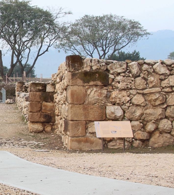
Israelite Hazor, from the 10th century BCE (the time of the United Monarchy), included only the upper city. The area of the Israelite city extended over some 35 dunams, and its inhabitants numbered between 1,000 and 1,500. . . . — — Map (db m141415) HM
English Text:
This palace, which served the kings of Hazor during the 14th-13th centuries BCE, is of a ceremonial nature (The administrative palace is to be sought elsewhere on the site). The plan, consisting of a courtyard and a throne . . . — — Map (db m141407) HM
English Text:
The story of Hazor is represented by 21 layers of settlement. The history of Hazor can be divided into two chapters: Canaanite Hazor and Israelite Hazor.
Canaanite Hazor
You are now in the upper city and . . . — — Map (db m141417) HM
English Text:
The biblical tels of Hazor, Megiddo, and Beer Sheba were inscribed in 2005 by the United Nations Educational, Scientific and Cultural Organization (UNESCO) as World Heritage Sites with outstanding universal value. They are . . . — — Map (db m141414) HM
English Text:
Constructed during the reign of King Ahab (the 9th century BCE), it was designed to supply the inhabitants of the city with water in times of siege. A vertical shaft was dug through the earlier occupation layers, at the . . . — — Map (db m141421) HM